
Where you may stand on a Michigan river or beach
A trespass section, a 1926 holding and the 2005 Great Lakes decision answer it in turn, and where the ordinary high water mark falls at a given site is a question of fact.
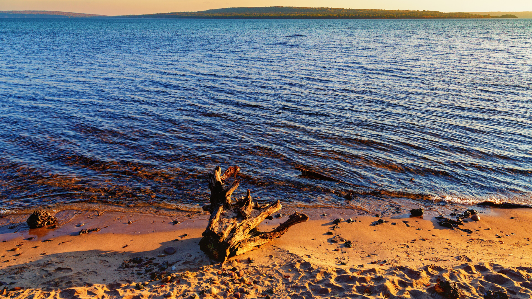
You are in the water, wading up a run, and there is a house on the bank. Somewhere between your boots and that lawn the public’s right ends and somebody’s property begins. Michigan answers that three times, in a statute and two opinions that do not cite it.
The water you are standing in
Under section 324.73102 of the Natural Resources and Environmental Protection Act, in the part the Legislature’s own page calls the Recreational Trespass Act, a person may not enter another’s property for recreation without consent where the property is fenced to exclude intruders or posted against entry. Subsection (3) is the sentence an angler stands on.
“On fenced or posted property or farm property, a fisherman wading or floating a navigable public stream may, without written or oral consent, enter upon property within the clearly defined banks of the stream or, without damaging farm products, walk a route as closely proximate to the clearly defined bank as possible when necessary to avoid a natural or artificial hazard or obstruction, including, but not limited to, a dam, deep hole, or a fence or other exercise of ownership by the riparian owner.”
That is the whole of it. It names a fisherman wading or floating and no other person on a stream. It does not say what makes a stream a navigable public stream, and it does not say what a clearly defined bank is. Part 731 defines eight terms and not one of them is any of those.
The right to fish the water is older than that subsection. In Collins v Gerhardt, decided in December 1926, the Michigan Supreme Court held that in a navigable river the people “may fish at their pleasure in any part of the stream subject only to the restraints and regulations imposed by the State.” The same paragraph sets the limit: “in exercising this right people cannot go upon the uplands of riparian owners in order to gain access to the water. If they do that they are guilty of trespass.” Which rivers are navigable the court did not list. Its test was whether a river in its natural state could float logs, boats and rafts.
The bed and the bank
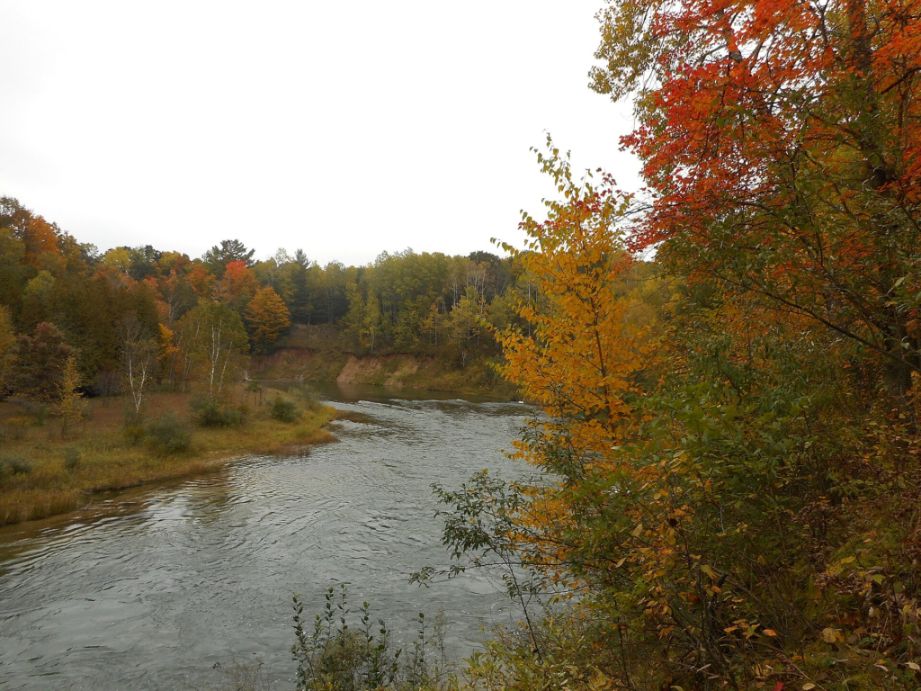
Who owns the ground is a different question from who may fish the water. A riparian owner, the 1926 court said, owns the land to the thread or center of a navigable river. “But he does not own the water, and he does not own the fish.” That title was taken subordinate to the public rights, fishing among them: “It is immaterial who owns the soil in our navigable rivers. The trust remains.”
In the spring of 1940, owners on the Little South Branch of the Pere Marquette River in Newaygo County drove sheet piling and dug the channel seven or eight feet deep to make wading in impossible. In Attorney General ex rel Director of Conservation v Taggart, decided in October 1943, the court rested squarely on Collins, held that the “ownership of the bed is subject to the public right of fishing therein,” and ordered the barriers out and the bed restored.
The banks are where the documents thin out. The 1943 court noted that nobody in that case had claimed a public right to walk the banks or the land bordering the stream, which records what was not argued rather than deciding it. The statute’s phrase, clearly defined banks, is not defined anywhere in Part 731. Part 301 of the same act, which governs permits for work in inland lakes and streams, defines an ordinary high-water mark by what the water has done to the ground, and defines it “As used in this part.” Neither text mentions the other, and the word in the 1926 opinion is uplands, which that court left undefined too.
The Great Lakes shore is a different law
Walk down to a Great Lake and the source of the answer changes. In Glass v Goeckel, 473 Mich 667, decided July 29, 2005, the Michigan Supreme Court took up whether the public may walk the shores of the Great Lakes where a private owner ostensibly holds title to the water’s edge. Joan Glass owned property across the highway from Richard and Kathleen Goeckel, whose deed ran to the meander line of Lake Huron. The court concluded that “plaintiff, as a member of the public, may walk the shores of the Great Lakes below the ordinary high water mark.” Walking, it said, is inherent in the public rights of fishing, hunting and navigation.
The same opinion sets limits that matter as much as the right. The owners keep title and “retain full rights of ownership in their littoral property,” held subject to the trust. The walking is subject to regulation. The doctrine “does not create an unlimited public right to access private land below the ordinary high water mark,” and it “cannot serve to justify trespass on private property.” A footnote says the decision implies no public right to cross a lakefront owner’s land to reach the water, and another says the court was considering the doctrine only as it has applied to the Great Lakes, not how it has applied to inland water.
Where the mark is, and who can tell you
The line the court drew is a physical thing. It took a definition from Wisconsin, “the point on the bank or shore up to which the presence and action of the water is so continuous as to leave a distinct mark either by erosion, destruction of terrestrial vegetation, or other easily recognized characteristic.” The same opinion says that “the precise location of the ordinary high water mark at any given site on the shores of our Great Lakes remains a question of fact.” Nothing read for this story tells a person standing on a beach how to find it.
The statute gives numbers, and they answer a different question. Section 324.32502, in the Great Lakes submerged lands part, sets the ordinary high-water mark “For purposes of this part” at elevations above sea level on the international Great Lakes datum of 1955: Lake Superior 601.5 feet, Lakes Michigan and Huron 579.8, Lake St. Clair 574.7, Lake Erie 571.6. The 2005 court said that act “never purports to establish the boundaries of the public trust.” EGLE prints those four figures and a second set on the 1985 datum, and says the elevation mark “may not always be at the same location” as the natural one. Its page, written for people planning a dock or a seawall, says nothing about walking, the public or trespass.
Where the rule lives
On this record the page that carries the stream rule is the Legislature’s, not the department’s. The DNR’s fishing regulations page says the 2026 Michigan Fishing Regulations are in effect until March 31, 2027 and says nothing about access, wading, banks, private land or trespass. The booklet itself is a PDF that returned no text when it was opened for this story. For the stream the text is section 324.73102 on legislature.mi.gov, and for the beach it is the opinion, 473 Mich 667.
About a sign, Part 731 says what one must be and no more than that: letters at least an inch high, each sign at least 50 square inches, and the signs “spaced to enable a person to observe not less than 1 sign at any point of entry upon the property.” Subsection (3) opens with the words “On fenced or posted property or farm property,” which puts the sign and the wading exception in one sentence of one law.
The oldest of the three answers came out of a man who waded on. A Toledo landowner held 120 acres on both sides of the Pine River in Dover Township, Lake County, strung three strands of barbed wire from shore to shore where the river entered his land, and posted notices warning the public out. On May 21, 1925, Gideon Gerhardt climbed the wire and waded the river, angling as he went, and was sued for trespass. In December 1926 the Michigan Supreme Court held the Pine navigable, and held that Gerhardt had been fishing where he had a legal right to fish.
Sources
Every statement of law in this story is quoted from a statute section or a court opinion read on Nov. 14, 2026, and each sentence names the document it comes from. Nothing here is legal advice, no sentence says what a court or an officer would do, and no river reach, beach or parcel is described as open or closed.
The statute. Michigan Legislature, Natural Resources and Environmental Protection Act, 1994 PA 451: Part 731, Recreational Trespass, sections 324.73101 to 324.73111, all eleven read; section 324.32502 and the rest of Part 325, Great Lakes Submerged Lands, in part; and section 324.30101, the definitions for Part 301, Inland Lakes and Streams. The site’s footer reads “Complete Through PA 114 of 2026”. Section 73102 was added in 1995 and last amended effective March 23, 1999.
The opinions. Michigan Supreme Court: Glass v Goeckel, 473 Mich 667, decided July 29, 2005; Collins v Gerhardt, 237 Mich 38, decided Dec. 8, 1926; and Attorney General ex rel Director of Conservation v Taggart, 306 Mich 432, decided Oct. 11, 1943. All three were read in Michigan Reports, the state’s official reporter, as scanned by the Harvard Law School Library’s Caselaw Access Project (473 Mich 667, 237 Mich 38, 306 Mich 432), not in the court’s own PDFs. The 2005 citation is taken off that copy. In Glass the majority opinion and its footnotes and Justice Young’s opinion were read whole and Justice Markman’s in part; in Collins the majority opinion only, not Justice Fellows’s concurrence or Justice Wiest’s dissent.
The agencies. Michigan EGLE, Ordinary High Water Mark (OHWM) and Great Lakes Submerged Lands; Michigan DNR, Fishing regulations and Laws. All four read whole on Nov. 14, 2026. None of them carries a date. The DNR’s laws and enforcement index does not use the word trespass or riparian and links no page on public rights on water, and the 2026 Michigan Fishing Regulations booklet is a PDF that returned no text when its address was opened, so nothing in this story comes from the booklet.
Where the record disagrees. On how far up a Great Lakes shore the public may walk, the 2005 court divided five to two: the majority of five set the line at the ordinary high water mark, Justice Young would have allowed walking only on the wet shoreline, and Justice Markman put the limit at the point where wet sand gives way to dry. All seven agreed the owners could not stop her walking within the area of the public trust. On what the mark means there are two sets of numbers and two kinds of mark: the statute’s 1955 elevations, a second set EGLE prints on the 1985 datum, which EGLE says will change again when the datum is next updated, and the natural mark, which EGLE says may not be in the same place as the elevation. On stepping out of a stream, a circuit judge quoted in the 1943 opinion described restrictions under which a wading fisherman trespassed if he stepped on the bank even to avoid a deep hole; the Legislature’s subsection (3) allows a route close to the bank to avoid one. The two texts are decades apart, one a judge’s account of an argument and one an act of the Legislature, and no document read connects them. This story states the statute.
What no document read settles. None of them tells a person standing on a particular beach how to find the ordinary high water mark. The 2005 court called its location at any given site a question of fact and described, in a footnote, one Wisconsin dispute settled with expert witnesses, aerial photographs and survey maps, while allowing that an average member of the public may not require that degree of precision. EGLE’s page addresses people planning work in the water. None of them says which Michigan streams are navigable public streams, or lists any: the statute does not define the term, the 1926 court gave a capacity test, and a circuit judge quoted in 1943 wrote that each stream and each section of a stream is a question to be decided on its own condition, capacity and history. Decisions and amendments after 1926, 1943 and 2005 were not researched for this story, which is why every statement of a court’s view is dated in the sentence. What the trial court did after the 2005 remand is in none of the captures. Inland lakes are not the subject of this story and the 2005 court said expressly that it was not considering them.